Get Support
123-456-789-10
Remote Sensing
Data driven mineral exploration solutions to evaluate surface mineral identifications, structures, geological features
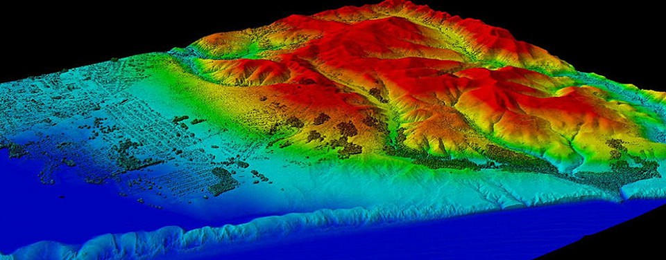
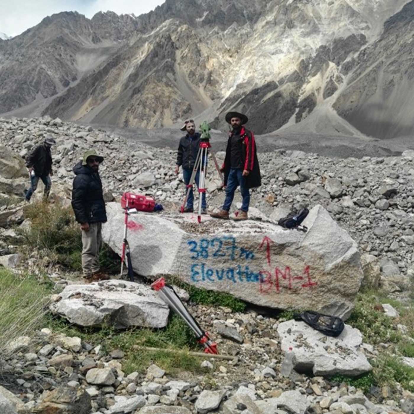
Topographic Survey
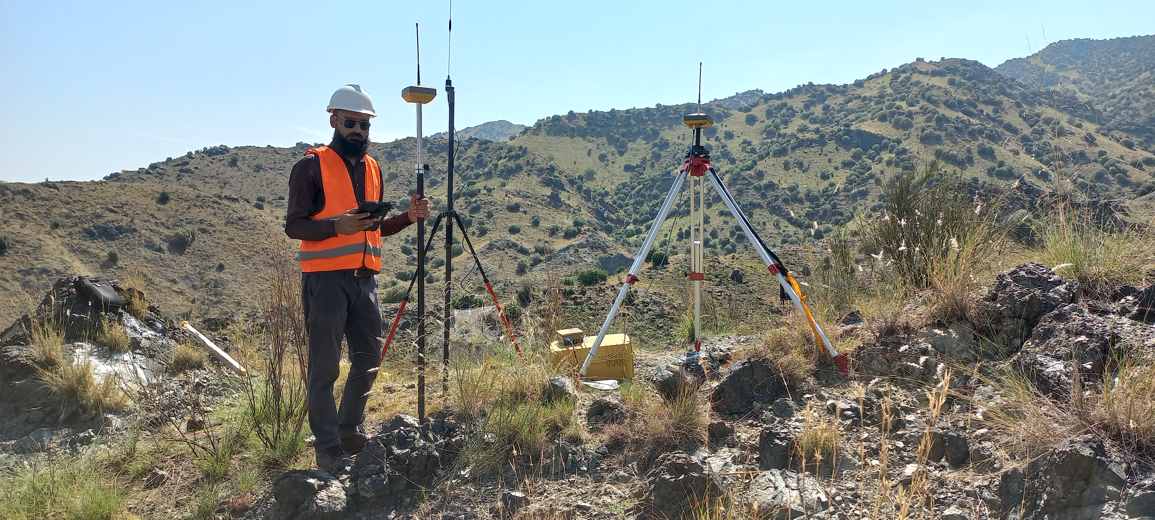
Demarcation of spatial features and 3D modeling of all natural and man-made features and elevations
Geological Studies
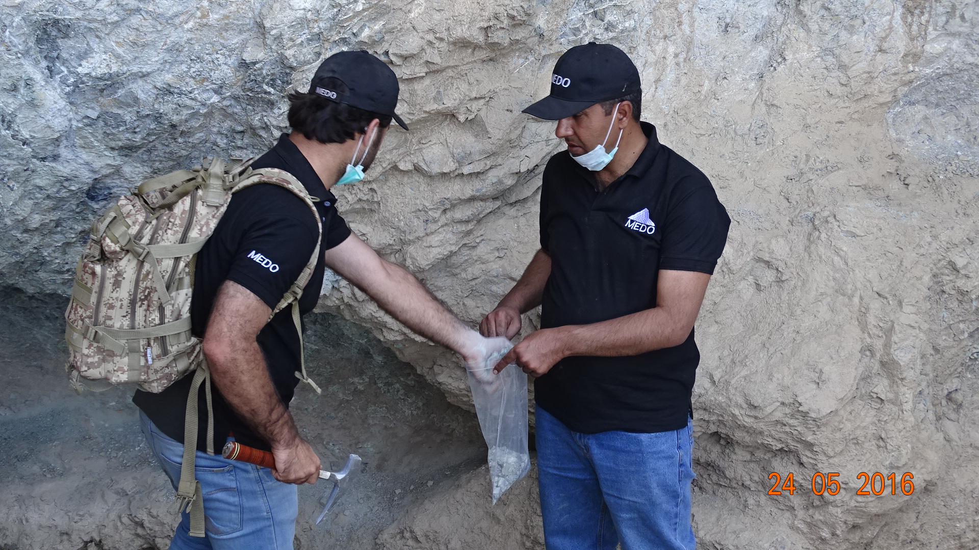
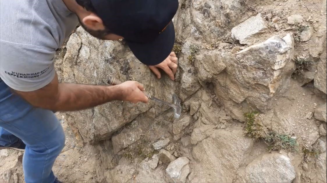
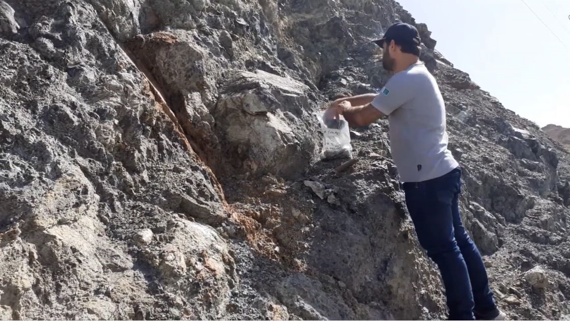
Systematic approach of recording geological information for evaluating different rock types & structures in the form of maps and cross sections
Geophysical Investigations
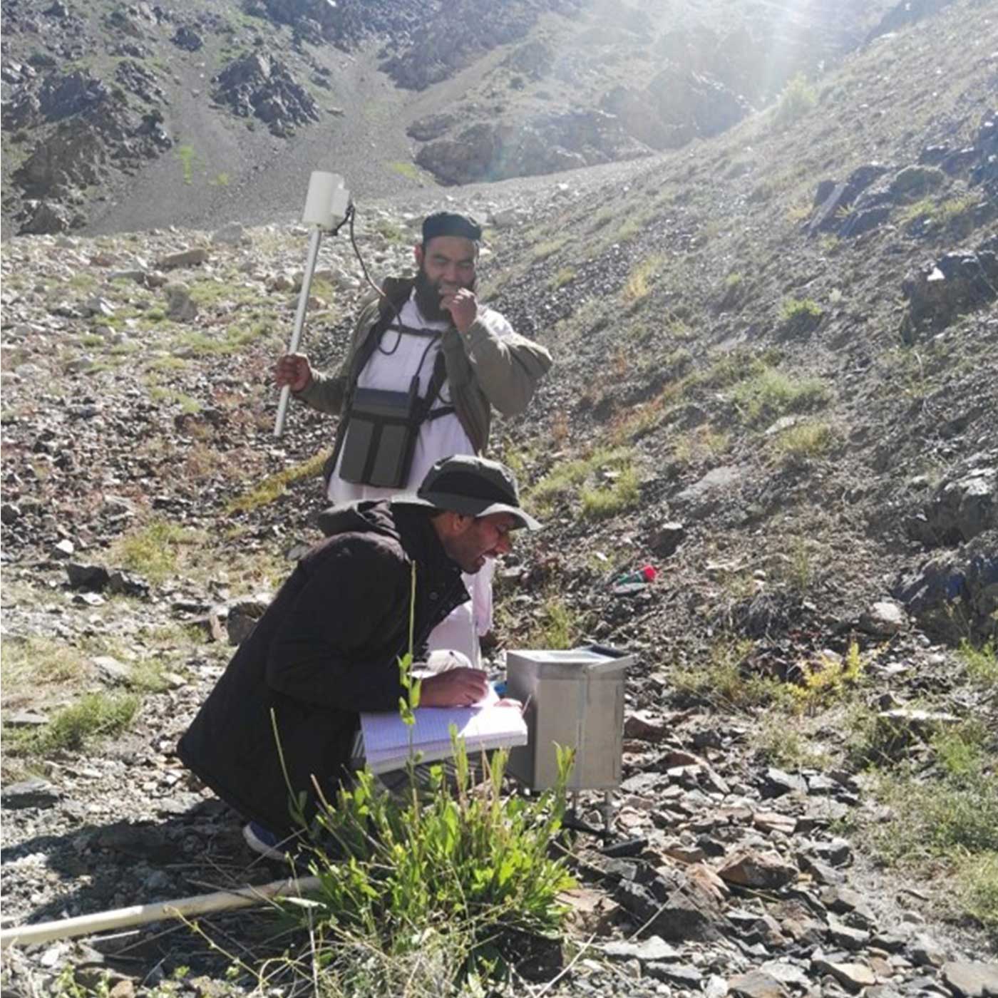
2D & 3D geophysical information of subsurface rocks on the basis of their mineralization type & geological structure
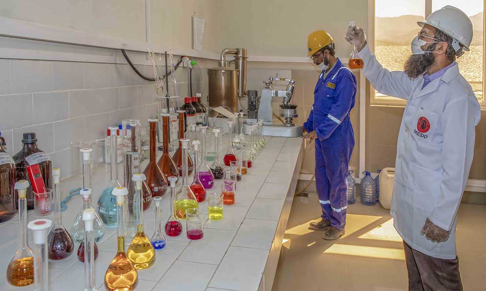
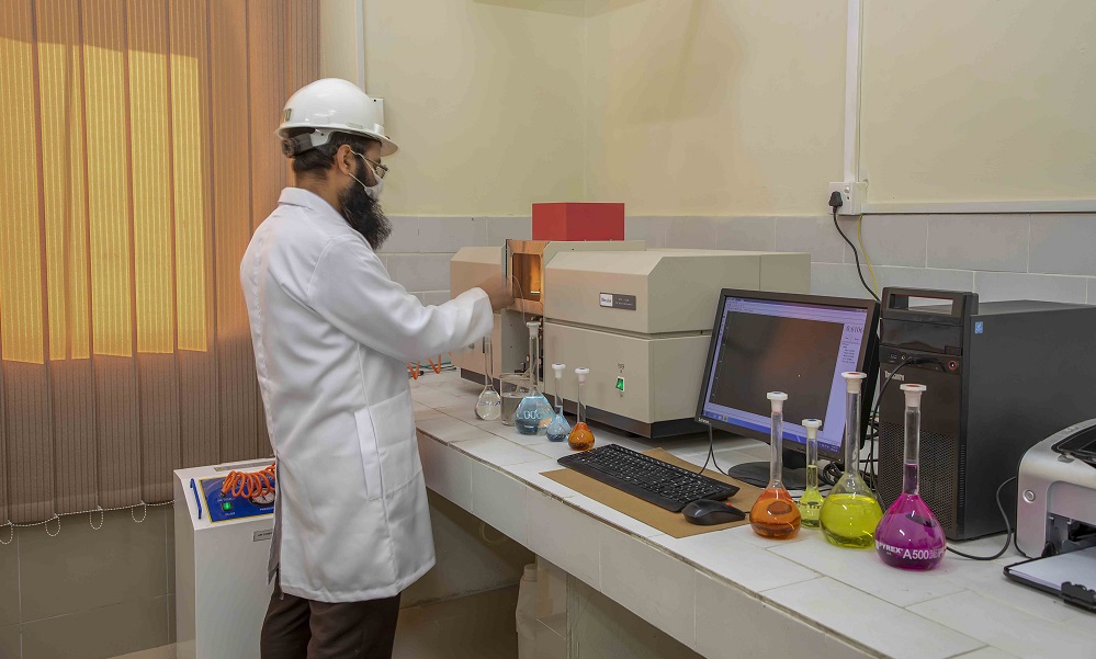
Mineral Testing Laboratory
Providing solutions through geochemical testing facility with sophisticated equipment like Atomic Absorption Spectroscopy (AAS)
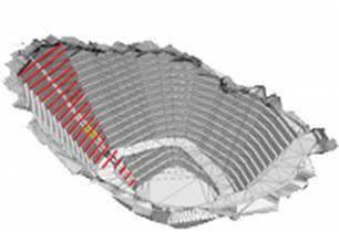
Mine Design & Development
Complete solutions for mine development including mine design, installation of beneficiation plant & operations